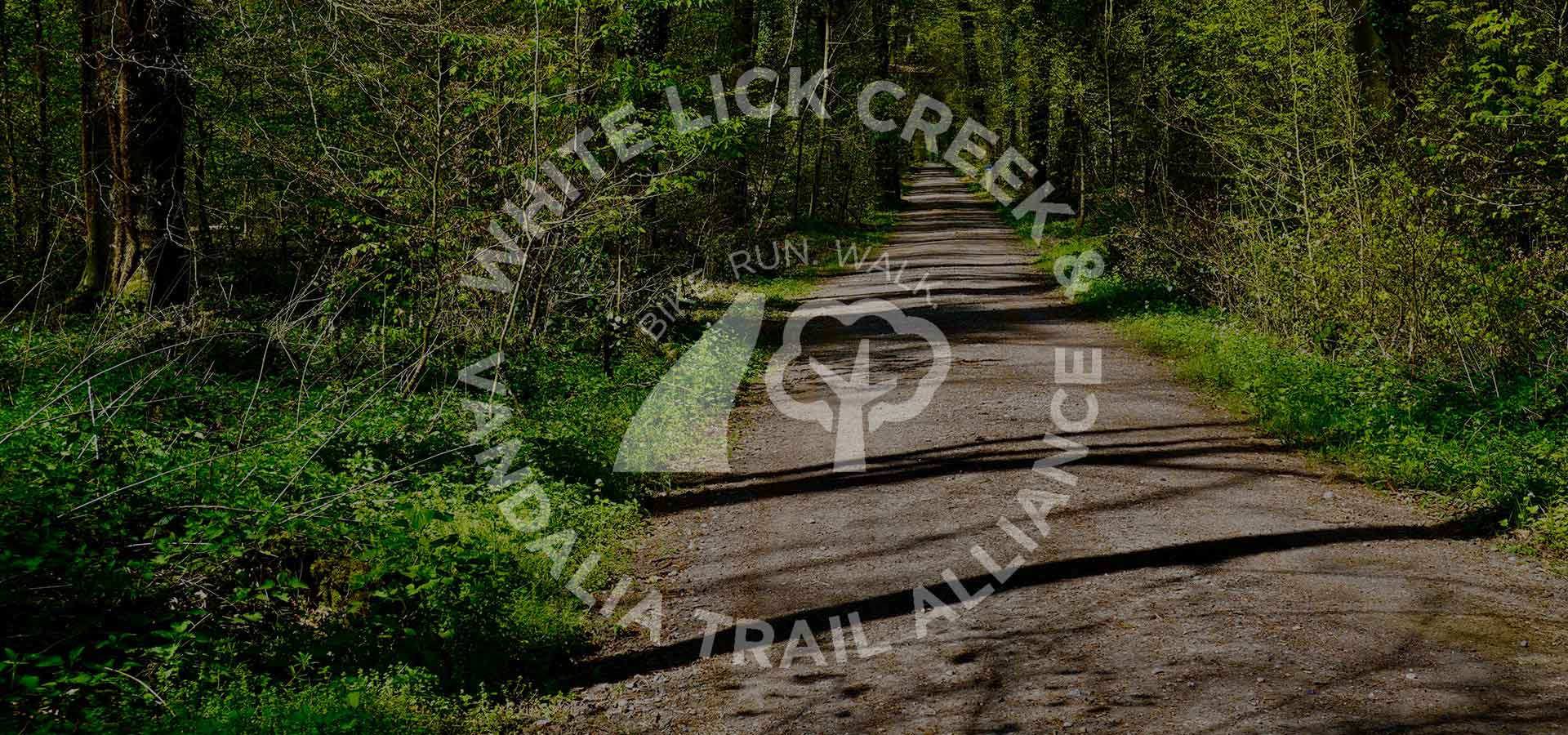
Indy Gateway has provided a grant to the White Lick Creek Vandalia Trail Alliance to conduct a scoping study with Storrow Kinsella Associates (SKA). The scoping study will provide information needed for the development of the first phase of the Marion County Vandalia Trail. including:
- Visualizing feasible routes
- Implementation opportunities and barriers
- Associated conceptual level implementation costs
This information will be assessed for one or more of the following study areas:
White Lick Creek Trail Phases
- Phase 1a: Plainfield Vandalia Trailhead to Morris Street (about 2.75 miles): From the Bridgeport Road/West Perimeter Road intersection west, connecting with the Plainfield Vandalia Trailhead on the north side of Washington Street at South Raceway Road, north along the east fork of the White Lick Creek and parallel to Bridgeport Road to the Morris Street/east fork of the White Lick Creek intersection.
- Phase 1b: Morris Street to the Cloverleaf Conservation (about 1.3 miles): From Morris Street north along the east fork of the White Lick Creek to the Cloverleaf Conservation Area.
2 Vandalia Trail
- Phase 2a: Hendricks Co County Line east to High School Road (about 2.5 miles): Roughly parallel to Perimeter Road/Plainfield Avenue from the Bridgeport/West Perimeter Road intersection east to High School Road.
- Phase 2b: High School Road east to Tibbs Avenue (about 3 miles): Roughly parallel to Plainfield Avenue east to Tibbs Avenue.